Traffic control center of the states of Berlin and Brandenburg
TCC Stolpe
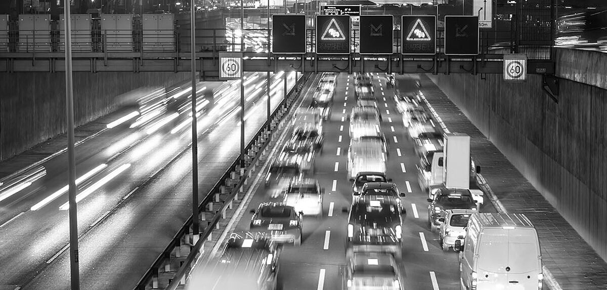
The Traffic Control Center (TCC) Stolpe takes on central tasks of traffic management for the whole federal highway network of the region North-East.
Road users receive information and warnings via variable message signs, variable direction signs and dynamic direction signs with integrated congestion information (dWiSta) from a total of 15 connected sub-centers.
The TCC Stolpe is linked via the traffic information workstation (TIC3) to the Berlin and Brandenburg regional Police information center, which receive automatically generated traffic warning messages. These are generated on the basis of the cyclically recorded traffic data using a corresponding algorithm for traffic state identification. For this purpose, it is necessary to map the traffic sensor sites located on the highway and the determined section-related traffic conditions to the location references of the location code list (LCL) of RDS-TMC. On the other hand, all messages of the two state reporting centers Berlin and Brandenburg are displayed in the map and in lists. This also includes the messages on road works that are reported back.
All data from the connected sub-centers from Brandenburg and Berlin are archived centrally in the TCC and can be evaluated in detail. The software for the Stolpe traffic computer center, which is based on a digital road map, was developed by Heusch/Boesefeldt GmbH. Sub-centers of different manufacturers and TLS versions have been integrated into the TCC over the years.
The connected dWiSta can be switched manually via the graphical user interface. Contents can be defined in preparation for switching and activated at any time as required. All sign contents are displayed true to the original in the schematic system diagrams of the TCC, and the operational states are also displayed in the grahical panels.
The digital road map displays all traffic-related objects and their operational states; details and evaluations of objects can be accessed from the map (or alternatively from a list).
All systems and detectors can thus be monitored centrally.