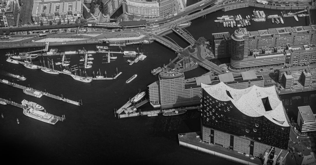
Effective traffic situation detection in the Hamburg Port
EVE
The new system created for the Port of Hamburg uses available traffic data and supplements it with route-related data from the existing Bluetooth system and FCD provided by the ADAC. Based on this data pool, the traffic situation in the entire strategic network is calculated in a microsimulation model. The mobile traffic data must be mapped to specific sections of the network using fast (real-time) map matching so that they can always be taken into account by the micro-simulation tool.
At the beginning of the project, the Hamburg Port Authority (HPA) already had a stationary system for traffic data acquisition, which was made considerably more user-friendly by Heusch/Boesefeldt and extended by the following functionalities. The system collects local traffic data in the area of strategically important intersections. For the local operator, it is equipped with a graphical user interface which, in addition to displaying the current and predicted traffic situation in the road network, also allows access to the logged data and the evaluation of the data.
The central element of the user interface is the map representation of the road network - a geo-referenced network representation realized on the basis of a network provided by the customer (ASB-compliant). Here, among other things, it is possible to access the data of the traffic sensors and the results of the traffic situation analysis in a context-sensitive way.
The maintenance of geo-referencing and map matching of all objects in the system is supported by graphically supported tools.