Cooperative mobility in the digital test field Düsseldorf
KoMoD
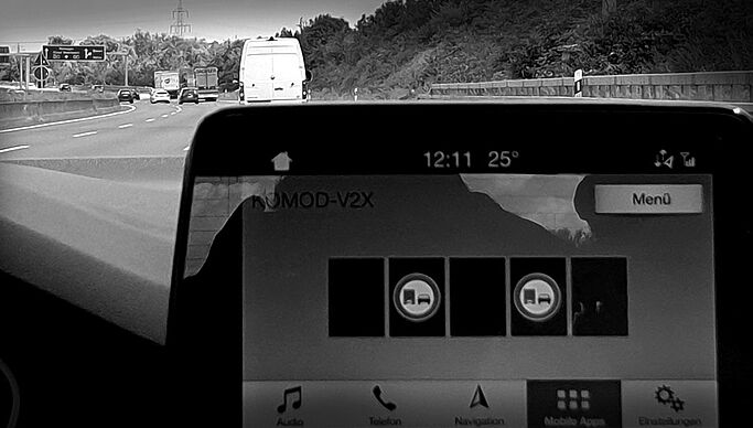
The KoMoD research project (Cooperative Mobility in the Digital Test Field Düsseldorf), funded by the German Federal Ministry of Transport and Digital Infrastructure (BMVI), implemented the digital test field Düsseldorf in the route network of the two public authorities involved, the North Rhine-Westphalian Road Construction Authority (highway) and the state capital Düsseldorf (urban network). In this test field various technologies and applications for vehicle-infrastructure networking and automated driving were tested under real traffic conditions.
For this purpose, the traffic control systems in the test area (the route control system on the BAB 57, the dynamic variable message signs at the Meerbusch interchange, the tunnel control in the Rheinalleetunnel, the the traffic light systems in the city center and parking guidance system) and the centers of the public works authorities were expanded so that control measures and information can be transmitted to the test vehicles and, at the same time, the vehicle data can be recorded on the infrastructure side.
Standardized interfaces were used for the networking and communication of vehicles and infrastructure to enable the use of the test field by third parties.
The test field was officially opened in September 2018. After test phase, it was put into operation on January 1, 2019 and released for use by third parties for a period of 6 months.
In the KoMoD project, Heusch/Boesefeldt was responsible for project coordination, technical project management and management of the project office on a sub-contract basis for the participating project partners.
In addition, Heusch/Boesefeldt expanded the existing sub-center for the route control system on the BAB 57 in the KoMoD project on behalf of the project partner Straßen.NRW, so that the contents of the variable prismatic signs are transmitted to the vehicles. For the dWiSta (dynamic direction signs with integrated congestion information), the strategic routes were determined and transmitted to the vehicles as a geocoded route for logical integration into the individual route guidance.